See our recent Webinar for a great explanation for using heatmaps:
If you already have a consultation website on Commonplace the process for adding it is simple, as the Heatmap is a module that can be enabled on your existing website.
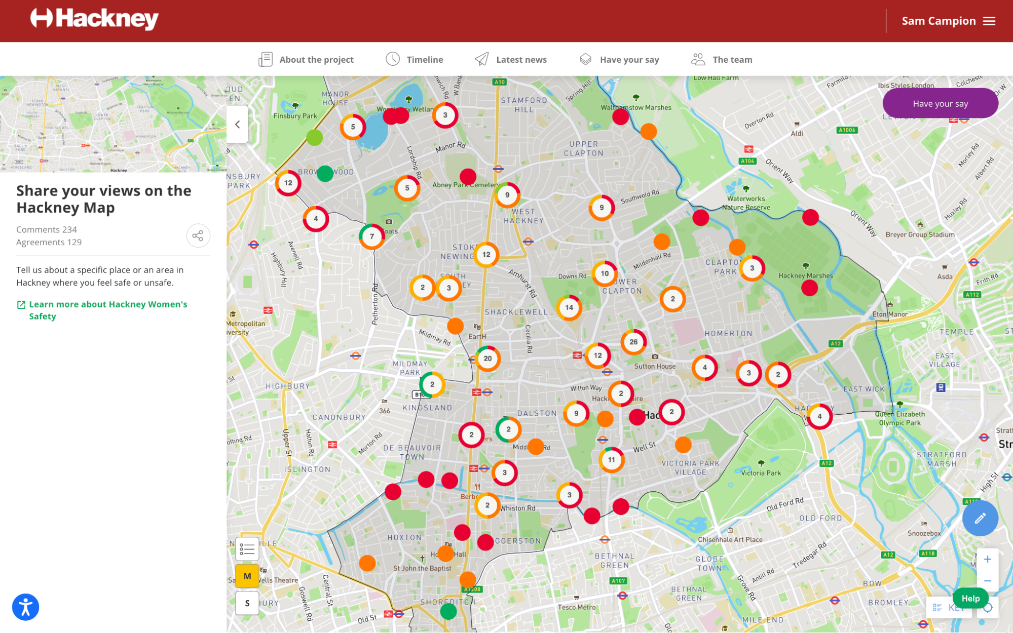

The process for setting up a Heatmap is as follows:
- See this article to create your map tile
-
Contact your Customer Success Manager - they will guide you through the setup process.
-
Think about the questions you would like to ask - it’s important to consider that respondents will be commenting about a specific point they’ve marked on the map, and the questions should be similarly location-focused. A typical Heatmap survey form might ask people:
-
To describe the location they’re commenting on in more detail
-
How they feel about that location
-
Why they feel that way (i.e. what the issues are, as well as what they like about it)
-
How that location could be improved
-
Any other comments they might want to share
-
What features you would like to display on the map. These might include:
-
A boundary of the area your consultation is focused on. Depending on the complexity, this can either be drawn on the map or uploaded as a GIS file*.
-
Any other locations you might like to highlight on the map - such as a local green space or road. If you have tiles elsewhere on your Commonplace that relate to these locations, the map markers can be linked directly to those tiles.
*We can only upload 2 types of files to create boundaries:
- 'Shapefiles' which is a collection of geo data files which can normally be provided from geographic information systems software
- GeoJSON file which is a simplified geo data file
Contact Support
If you find you still have some questions or you’re unsure about something, please don’t hesitate to get in touch with our dedicated technical Customer Support Team